by Claudia Stritof
_
Bob Dylan in 1962 gave the world A Hard Rain’s A-Gonna Fall, a ballad of extraordinary compositional complexity and sublime poetic lyricism.
An existential journey through a dramatic reality, where children hold nothing in their frail hands, if not guns and sharp words. Where infants are prey to ravenous wolves, men embrace hammers dripping with blood and roaring thunder pierce the heavenly silence announcing baleful visions. A feeble voice, deaf to the greedy man’s ear, desperately calls for food and a lonely woman agonizes in her burning body, while a man, blinded by hatred, does not see the one who suffers for love.
A Hard Rain’s A-Gonna Fall is a requiem mass of poignant sadness, which expresses with vivid images the end that will come if man does not take care of his wonderful Earth.
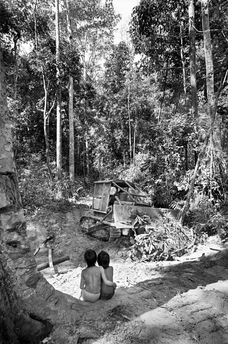
Inspired by these prophetic lyrics, in 2006 writer Lloyd Timberlake and photographer Mark Edwards founded Hard Rain Project, a UK-based organization whose first public exhibition paid tribute to the song, photographically interpreting each verse through the evils of contemporary society.
After this first important project, supported by Dylan himself, in 2015 the group created WHOLE EARTH?, an even more ambitious exhibition organized in several universities. In 2017 the project won the important UNESCO-Japan award on education for sustainable development (ESD), giving the group the opportunity to continue its research and create – in collaboration with scientists and students – exhibitions, books, films and conferences aimed at raising awareness on the urgent global issues that humanity must resolve in order to live in a better world.

The solution to global challenges is at the heart of UN programs, which, with the 2030 Agenda, propose the resolution of the 17 Sustainable Development Goals (SDG).
Just to name a few: end all forms of poverty and hunger in the world, achieve food security, promote sustainable agriculture, offer quality education and learning opportunities for all, achieve gender equality, guarantee the availability and sustainable management of water; promote lasting economic growth and ensure decent work conditions for everyone, make cities and human settlements inclusive, safe and long-lasting; maintain and correctly use the oceans, seas and marine resources in a lasting way, strengthen the means of implementing the objectives and renew the global partnership for sustainable development.
Governments, universities, non-profit organizations and companies, also by virtue of the last of the seventeen points, entered a synergy to achieve these objectives, implementing initiatives that often involve the use of important technologies.
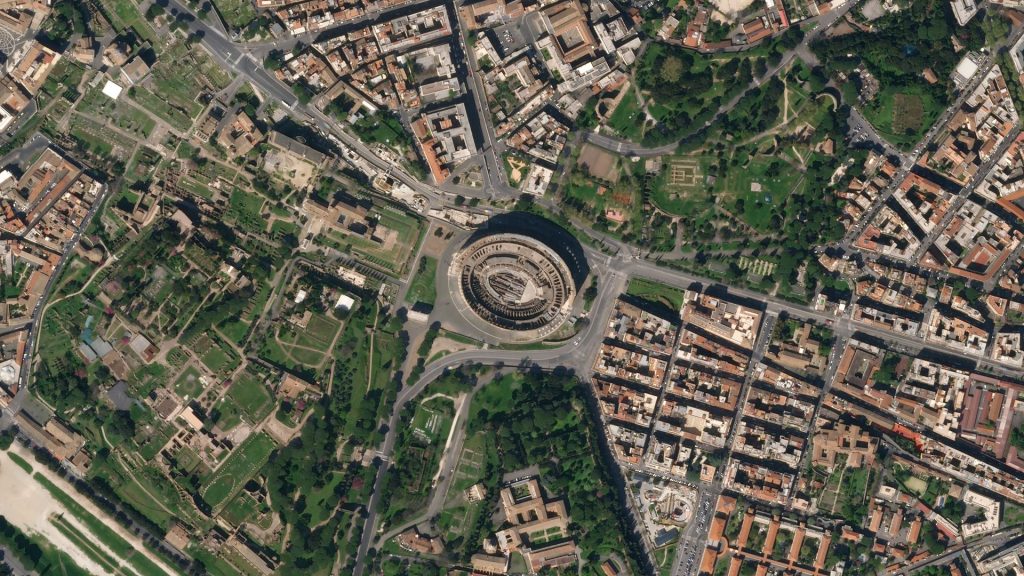
The most widely used is certainly satellite photography and, among the various programs, one that stands out is Copernicus. Born at the will of the European Union, it monitors changes, through vast quantities of global data coming from satellites – but also from land, air and sea measurement systems – used to provide information to help the population, public authorities and other international organizations improving the quality of life of the citizens.

Between February and March 2020, during the first days of the pandemic, when COVID-19 changed the rhythm of our life, we all (or most of us) stopped in disbelief in front of the satellite photographs showing the deserted towns and the drastic reduction of pollution in the bigger cities and in the major industrial areas of the world.
In fact, satellite photography is used both to monitor and mitigate the impact of pandemics, as had happened with Ebola, but also to monitor borders and agriculture, to fight illegal activities, to control the sustainable growth of cities, or block illegal deforestation.
Planet Labs, one of the major companies of this field, was founded – as legend has it – by a group of young people in a garage in Silicon Valley in 2010. Driven by the desire to “give democratic access to satellite information”, through the creation of “the largest collection of satellite images in the history of mankind”, the partners created ultra-compact satellites containing sensors that take high-resolution photographs.
“Dove”, the name given to the satellites reflects the humanitarian purpose behind the company and, remaining at the level of a single orbit, they slowly travel the Earth in its rotation and photograph all the points of the planet every 24 hours, managing to track urban growth every single day.
The Internet has become a great archive, a source of unlimited knowledge, where millions of images are instantly uploaded; in this, Google Street View was certainly visionary, contributing to the creation of a reality, where it is not only possible to admire places that otherwise would not be available, but also to walk virtually in them.

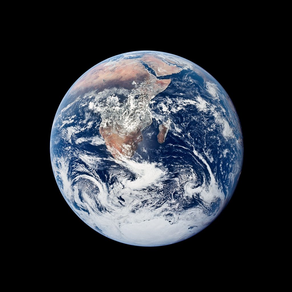
Today this potential has greatly expanded, but to inspire researchers, as confirmed by the CEO and co-founder of Planet, Will Marshall, has always been a photograph, the Blue Marble, taken on December 7, 1972, by the Apollo 17 crew.
An image that has become iconic, as much as Bob Dylan’s song, which, by showing us the vulnerability of the planet, have inspired sensitive prophets animated by the desire to respond to the last desperate call for help from divine Gaea.
Oh, what’ll you do now, my blue-eyed son?
Oh, what’ll you do now, my darling young one?
July 9, 2020


